SITE TITLE
  • Home
  • Trails
  • Events
    • Calendar
    • Outdoor Education
  • Clean and Beautiful
  • Pollinator Gardens
  • Volunteer
  • Photos
  • Links
  • Home
  • Trails
  • Events
    • Calendar
    • Outdoor Education
  • Clean and Beautiful
  • Pollinator Gardens
  • Volunteer
  • Photos
  • Links

TRAILS

Join us on Wickenburg's beautiful trail system!
Picture
Picture
Picture
GENERAL INFORMATION

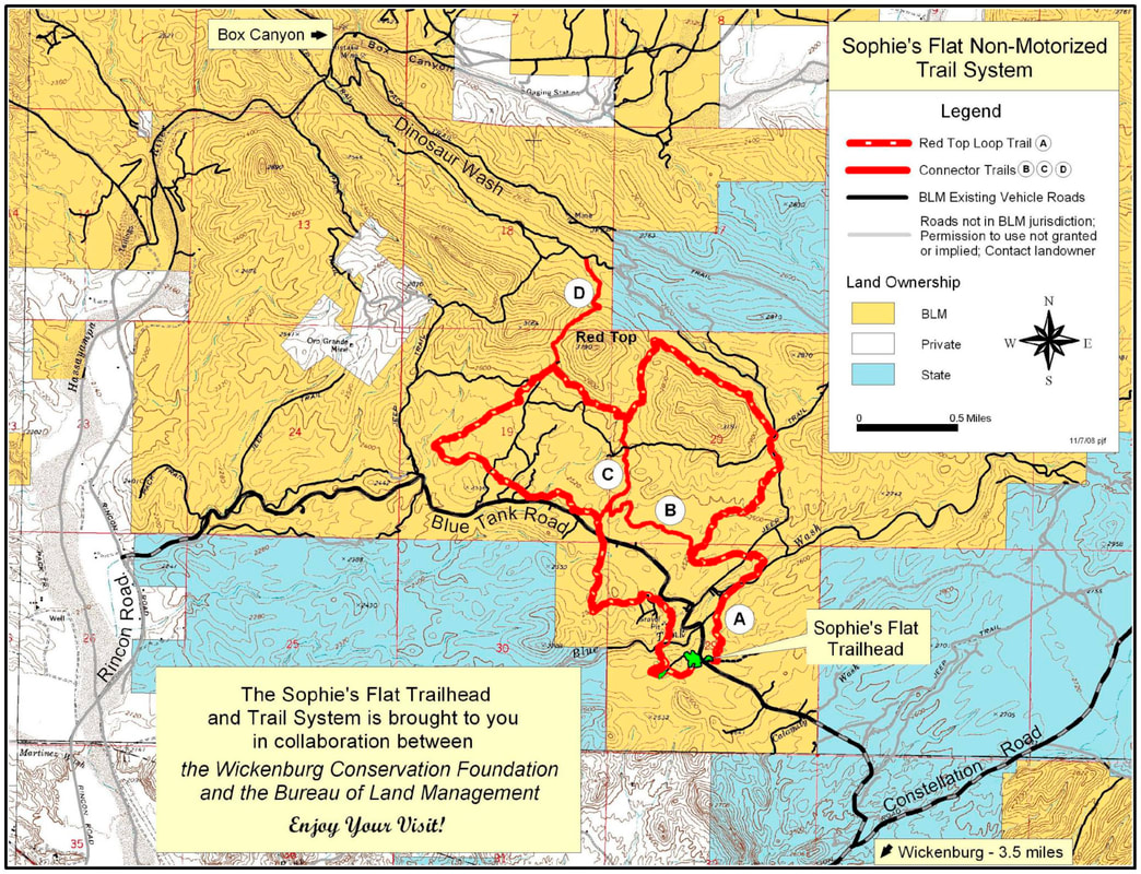
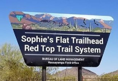
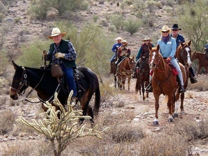
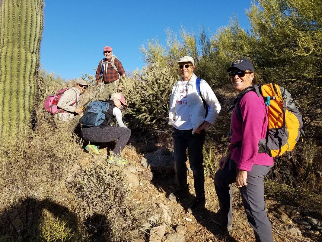
Sophie's Flat trails meander through classic Sonoran Desert landscape including stands of saguaro, ocotillo, cholla and other cactus varieties. Dramatic scenic desert and mountain vistas are visible in all directions.  ​
​

​The trailhead is approximately 5 miles NE of Wickenburg.  The trail is named for Sophie Burden, co-owner and dubbed "Queen" of the historic Remuda Guest Ranch. Trail development is done in partnership with Bureau of Land Management.
The trail system consists of a loop trail with two internal connector trails.  Trails are marked with letttered posts. Another trail leads from the loop to Dinosaur Wash which ends at the Hassayampa River and leads to nearby Box Canyon, a lush riparian area and slot canyon.  Keep in mind that the Canyon is a mulit-use site and motorized use is allowed.
FACILITIES

​The trailhead includes a day use parking on the north side of the road for 18 vehicles, restroom , hitching posts and information kiosk.  The south side of the road provides large staging and parking areas that can accommodate about 40 horse trailers or RVs.  Camping is permitted in the staging area.  Water, water holding facilities and trash containers are not provided. 
DIRECTIONS 

​From U.S. 60 just east of the Hassayampa River bridge turn north on El Reco Road (at the log house  just past Award Realty), proceed 1/4 mile and bear right on Constellation Road 3.2 miles to Blue Tank Road which diagonals to the left. (Look for the brown directional sign.)  Take Blue Tank Road 1.4 miles to the trailhead.  The roads are maintained but high clearance vehicles are recommended, especially after storms. GPS coordinates:  ​34.006713, -112.693784
OTHER DETAILS
​​
  • High season is October through April with very little use in the remaining months.
  • Always tell someone where you are going and when you will return.
  • Water is not provided, bring plenty for yourself and your animals.
  • Please keep the site clean of litter. Pack it in, pack it out.
  • Washes are prone to flash floods during heavy rain storms.  Do not cross when flooded. 
  • You may encounter rattlesnakes or other poisonous creatures.  Be careful where you put your hands and feet.  Never harrass reptiles - they bite.
  • Stay safe - stay on the trails.
  • This is a multi-use are but horses have the right of way.  Be courteous.
  • Use fire where specifically permitted.  
  • Help check the spread of noxious weeds and annoying insects.  Weed-free feed is recommended.  Clean up after your animals.
  • Know your land ownership.  Private landowner permission or a state land permit may be required. 
  • Learn and practice "Leave No Trace" and "Tread Lightly" land ethics.
Picture
Donate
Want to join an event?
SEE OUR CALENDAR
ADDRESS
[email protected]
​
623-341-5977
CONTACT
PO Box 20008
Wickenburg, AZ 85390
FOLLOW US

​facebook.com/wickenburgtrails
​© 2025 Wickenburg Conservation Foundation. All rights reserved. DBA Wickenburg Outdoor Education.
​Design by Merryman Media.